Resources & Downloads
Resources to set up and use the TAK platform.
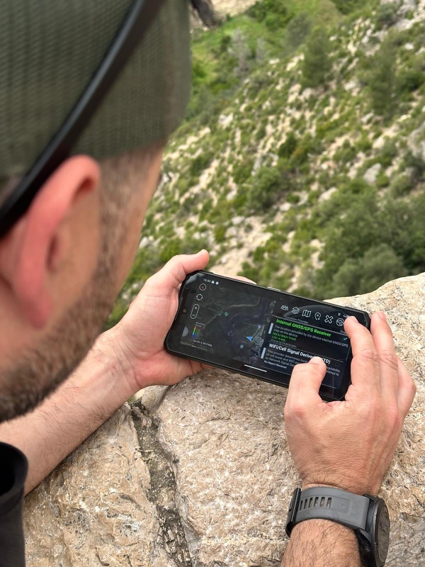
Start with your device
Choose your platform and follow the access instructions you received.
Open the link on your phone and tap “Open in ATAK”. No manual connection setup.
View all TAK clients
ATAK-CIV 5.7
Signed APK compatible with the ATAK-SERVER plugins on this page. Android 6 or later. Export your data and settings before changing versions.
Download APK ↓View instructions →
Your access arrives by email.
1. You receive an email with your access link. 2. Open the email on your Android phone and tap the link. 3. Tap “Open in ATAK” and accept the import if prompted. 4. Once ATAK shows the server as connected, you’re in. ATAK must be installed. Use ATAK CIV 5.7 for our plugins. Export your data before changing versions.
Connect iTAK with your personal QR code.
1. Install iTAK from the App Store. 2. Display your personal QR on another screen or on paper. 3. In iTAK, open Connections / Servers and the option to add via QR; scan the code and check the connection. Menu names may vary by version. If you received a ZIP instead of a QR, import it through Share → iTAK or iTAK’s import manager. The QR configures the server, not maps.
Set up your coordination workstation.
1. Sign in to TAK.gov and download WinTAK; a verified account may be required. 2. Save the compatible package you received. 3. Import it from Settings → Import Manager and check the connection.
Built for your team
Our plugins, with compatibility clearly stated.
NGBE Topónimos
Searches and autocompletes official Spanish place names from IGN/NGBE, prioritizes nearby results and opens them directly on the ATAK map. IGN/NGBE data under CC BY 4.0.
Download APK ↓TAK LifeState
Shares operational states such as Active, Wounded, Stabilized, KIA, MEDEVAC and Respawn from the ATAK panel or a compatible Bluetooth button.
Download APK ↓Frantaks LinkGuard
Monitor team and node connectivity from ATAK. Requires a compatible deployment. Version 0.2.3 includes improvements to panel refresh and the clock-skew warning.
Download APK ↓Our APKs are for ATAK CIV 5.7, not 5.8. Export your data before changing versions.
Expand your toolkit
Explore third-party tools to suit your team’s needs.
OpenTAK ICU
Turns the operator's phone camera into a live video sensor on the TAK map. Publishes the encrypted stream (RTMPS) to the server and drops a camera icon with GPS position that the rest of the team can open and watch live from ATAK / WinTAK.
Official page ↗GeoCam Plugin
Captures geo-tagged photo or video from the phone camera and publishes it to the TAK server as a positioned event.
Official page ↗AR Video Overlay
Overlays TAK map elements (markers, routes, contacts) in augmented reality on the live video feed. Requires a verified TAK.gov account.
Official page ↗Multi Video 2
Simultaneous display of multiple video streams in the TAK map, arranged as a mosaic for multi-source surveillance. Requires a verified TAK.gov account.
Official page ↗ATAK Plugin: Vx
Official voice plugin for ATAK. Connects the client to a Mumble server and enables talking over channels (BLUEFOR / OPFOR / COMMAND). The datapack we generate preconfigures the server and channel automatically.
Official page ↗Meshtastic ATAK Plugin
Bridge between ATAK and Meshtastic nodes (LoRa 868 MHz radios). Forwards positions and messages over the mesh network without internet or mobile coverage.
Official page ↗OpenRelay
Turns a Baofeng / BTech radio into a CoT bridge. Useful to integrate team comms over conventional VHF/UHF radios.
Official page ↗Plexus
Official mesh communications plugin for environments without infrastructure. Requires a verified TAK.gov account to download.
Official page ↗Drone Hone
Detects nearby drones via Remote ID broadcast (WiFi/Bluetooth) and plots them on the map with position and registration.
Official page ↗UAS Tool
Official plugin for piloting and integrating drones (UAS) in ATAK: control, telemetry and live video on the map. Requires a verified TAK.gov account.
Official page ↗VNS Plugin
Offline turn-by-turn navigation with voice prompts. Works without internet using pre-downloaded route bundles.
Compass Nav
In-app compass integrated into the ATAK HUD.
GRG Builder
Generates Gridded Reference Graphics (tactical grids) directly on the map.
Official page ↗ADSB Direct
Direct integration with local ADS-B receivers: plots nearby civilian/military air traffic on the map in real time. Requires a verified TAK.gov account.
Official page ↗TDAL Wind Data
Tactical Data Assistance Layer with altitude-resolved wind data. Useful for artillery, parachuting, sniping and air operations. Requires a verified TAK.gov account.
Official page ↗ATOS
ATAK Targeting Operations Support: target acquisition and observation tools.
HAMMER · Google Play
Software modem for sending and receiving CoT messages through compatible voice communications.
Official page ↗TAK SAT Planner
Satellite pass planner: predicts visibility windows for coordination with space systems.
Official page ↗HAMMER · TAK.gov
HAMMER listing on TAK.gov. Check its official page for version and access requirements.
Official page ↗Reaper
Official plugin for fires and artillery management. Requires a verified TAK.gov account.
Official page ↗Spotter
Official observation and target reporting plugin. Requires a verified TAK.gov account.
Official page ↗Redqueen
Local voice assistant for ATAK: hands-free control via PTT or activation. Drop markers, launch Bloodhound, range & bearing, timers and geofences with voice commands. On-device processing without internet. Requires a verified TAK.gov account.
Official page ↗SAR Plugin
Official plugin for search and rescue missions: search patterns, SAR team management and reports. Requires a verified TAK.gov account.
Official page ↗MEDEVAC
Official plugin for medical evacuation management (9-line MEDEVAC). Requires a verified TAK.gov account.
Official page ↗TAK Chat
Extended chat with rooms and improved conversation management, on top of ATAK's basic chat.
Official page ↗KestrelWx
Connects a Kestrel 5xxx weather station via Bluetooth and publishes data (wind, temp, pressure) on the map. Requires Kestrel hardware.
Official page ↗Third-party resources are subject to their licenses, availability and access requirements. Check compatibility before installing.

Know the terrain before you go.
Prepare your working area before heading out. An offline map does not replace the connection needed to receive team positions.
View available maps ↓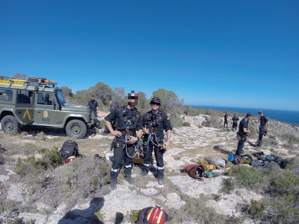
Platform activity
An overview at a glance. Details when you need them.
View operationsHide operations26
Real names have been hidden for privacy. Each operation has a stable identifier derived from its name.
| Identifier | Server | Ops. | Last |
|---|---|---|---|
| Op-9CE56C | OPFOR | 1 | 2026-10-01 |
| Op-EC5EC7 | BLUEFOR | 1 | 2026-09-24 |
| Op-7F6936 | MASTER | 1 | 2026-09-16 |
| Op-35E598 | MASTER | 1 | 2026-09-15 |
| Op-35C1D8 | MASTER, OPFOR | 8 | 2026-08-16 |
| Op-631286 | MASTER | 2 | 2026-08-16 |
| Op-8472D3 | MASTER | 1 | 2026-08-15 |
| Op-C973BE | OPFOR | 1 | 2026-06-28 |
| Op-5C8F0F | MASTER | 1 | 2026-06-26 |
| Op-AD4E50 | BLUEFOR, MASTER | 2 | 2026-05-18 |
| Op-436A4B | MASTER | 1 | 2026-05-10 |
| Op-6A6A32 | MASTER | 1 | 2026-05-09 |
| Op-1C68B4 | MASTER | 1 | 2026-05-09 |
| Op-0CA08C | BLUEFOR, MASTER | 2 | 2026-05-08 |
| Op-9A1384 | MASTER, OPFOR | 2 | 2026-05-08 |
| Op-A94A8F | BLUEFOR, MASTER | 3 | 2026-05-01 |
| Op-70C881 | MASTER | 1 | 2026-04-07 |
| Op-857B5B | BLUEFOR | 1 | |
| Op-FAEA52 | BLUEFOR | 1 | |
| Op-967863 | BLUEFOR | 1 | |
| Op-2328A7 | BLUEFOR | 1 | |
| Op-5EDD84 | OPFOR | 1 | |
| Op-1DBD07 | OPFOR | 1 | |
| Op-C4BC60 | OPFOR | 1 | |
| Op-4AC278 | OPFOR | 1 | |
| Op-79FCB8 | OPFOR | 1 |