 ATAK
ATAKiTAK (iOS)
WinTAK
Meshtastic
LoRa 868 MHz
TAK platform with encrypted GPS, offline maps and LoRa radio. Real-time multiplatform coordination server. SAR, fire response teams, hiking groups, or any team that needs coordination.
*Operating without internet requires additional software and deployment of the necessary servers and local network. The online subscription alone does not provide offline operation.
ATAKNo contracts. No lock-in. Cancel anytime.
*Indicative time, not guaranteed, with the app installed, access ready and a network connection. Excludes installation and credential issuance; depends on your device and network.
These options are subject to availability. Contact us for a custom quote.
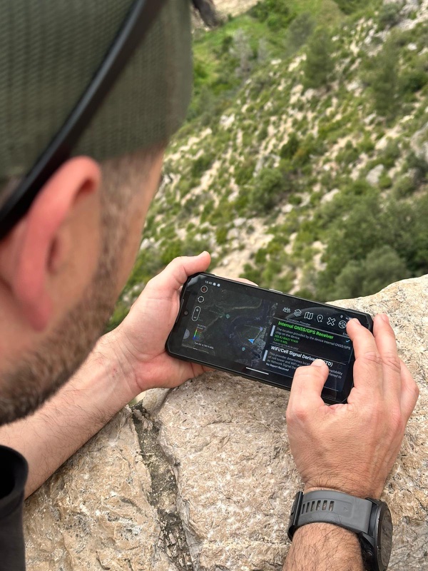
Simplified access on Android and iPhone
Receive access instructions tailored to your device. On Android, open the access link to start setup in ATAK without manually entering the server details.
Once connected, share positions, messages, points of interest and files with authorised users of your TAK server. Bring activity information together in a shared environment so each participant can consult the references they need and the team can make decisions using the available information.
Mark a location, share a meeting point or communicate a change of plan. ATAK and iTAK provide access to this shared environment, although their tools and features vary by application and version.
Connections to the server are encrypted, and each device uses an individual certificate. We maintain the online service infrastructure so your team can focus on preparing and coordinating its activities.
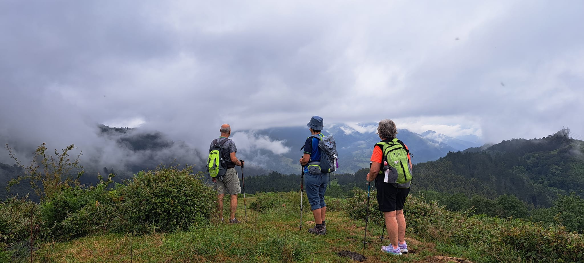
Coordination starts before you head out. Prepare the route, identify access points and mark meeting places, detours or points of interest. Sharing these references helps everyone understand the plan and consult the same information during the activity.
As long as devices remain connected, you can check the positions received from your teammates to help organise the group. If conditions change, share new meeting points or communicate a route change to those still connected.
If a device loses its link, its position will stop updating: you will see the last location received, not necessarily where it is at that moment. Agree before departure on what to do if communication is lost.
View your team’s latest received positions alongside routes, zones and points of interest. Identify who is near each objective, coordinate movements and share reference points so everyone works from the same map.
Position updates depend on the available connection and the data sent by each device.
Example using recorded positions · accelerated playback.
Explore different views of the terrain to plan routes, identify access points and mark points of interest. The package includes three preconfigured Google map sources: hybrid, satellite and street maps, which require a connection to load new content.
To view maps without internet, prepare mapping data that supports offline use and is authorised for download in advance. Availability and download options depend on the source and the application used.
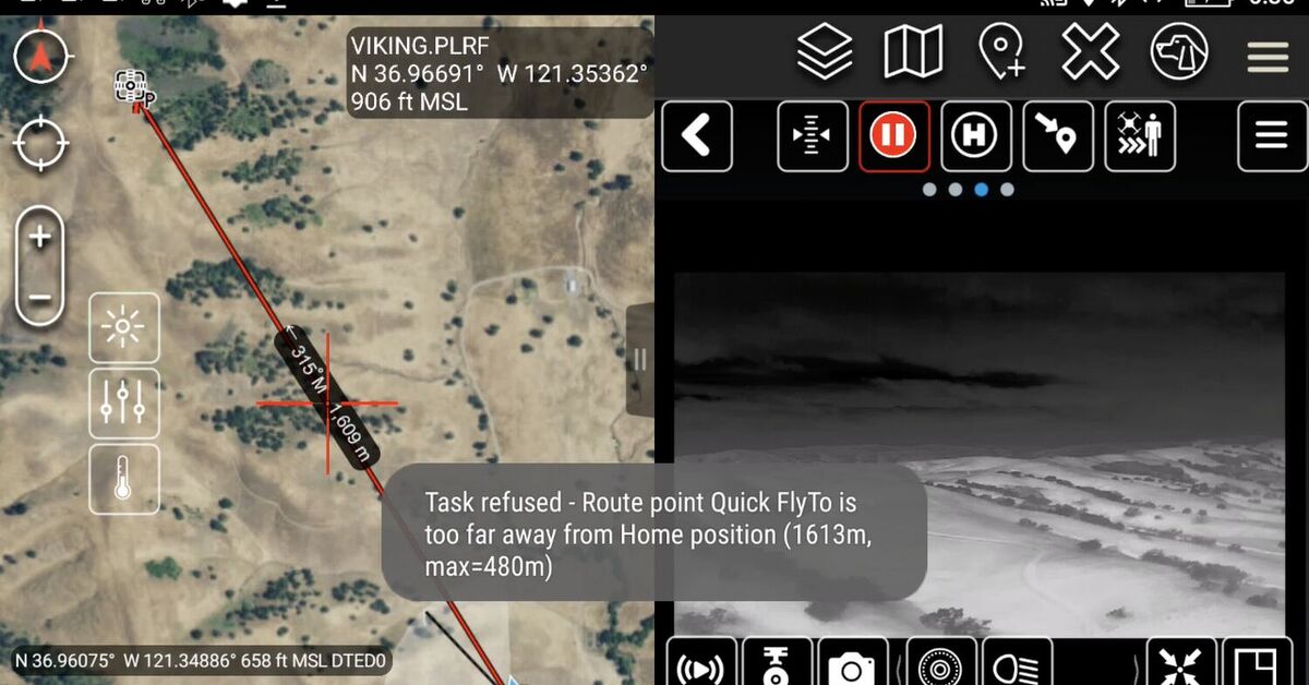
When mobile coverage is unavailable, a local deployment connects devices to a TAK server without relying on the internet. It requires dedicated communications equipment, power and configuration.
Node placement, obstacles and terrain affect coverage. What you need to share also matters: positions and messages require less capacity than voice, video or large files.
Each deployment must be prepared and tested for the intended location and activity. Equipment and installation are quoted separately; they are not automatically included in the online subscription.
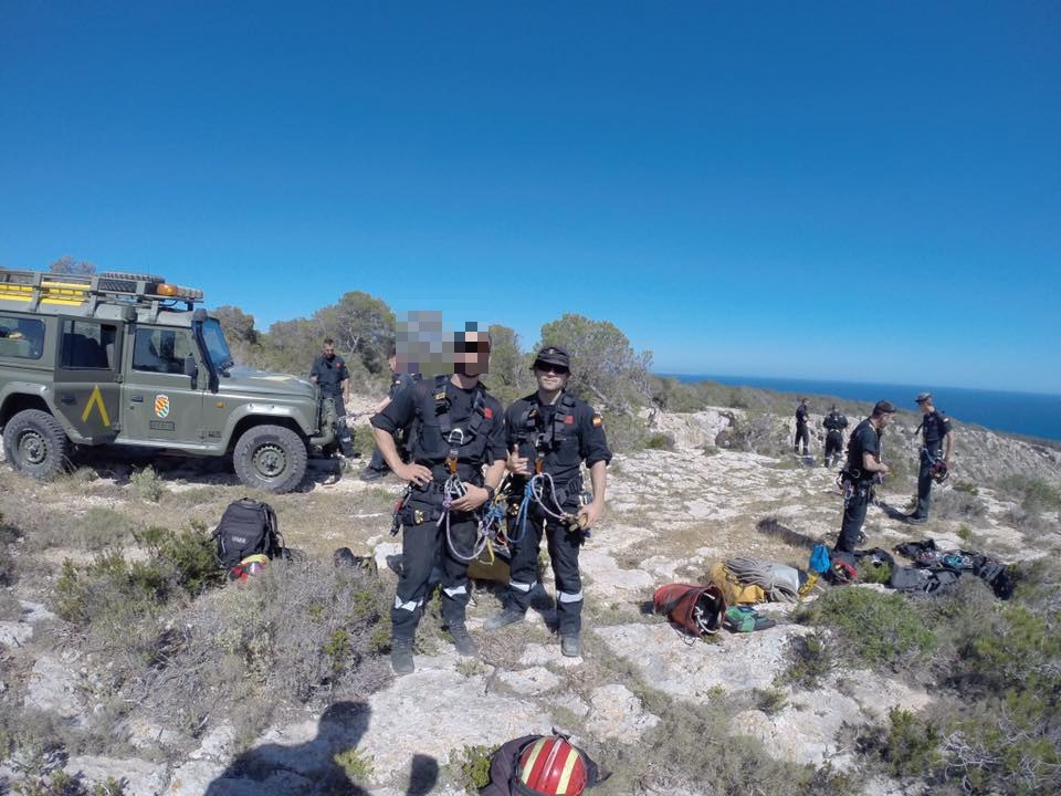
Mountain groups, rescue teams, civil protection. All members visible on the map, voice communication without walkie-talkies. In catastrophes like the Valencia DANA floods —flooding, fires, earthquakes— response teams need coordination without depending on infrastructure. This system works when the networks go down.
Deploy the node alongside the server and operate without relying on external networks. Your team connected at kilometre range, integration with existing Meshtastic devices, no SIM, no internet. When you return to a covered zone, the system syncs automatically.
In areas with coverage, ATAK/iTAK clients connect directly to the ATAK server over the internet. In areas with no connectivity at all, we can deploy Starlink to guarantee satellite connectivity anywhere on the planet.
mesh2tak is our integration software: it translates Meshtastic messages received via LoRa radio into CoT (Cursor on Target) messages and injects them into the ATAK server in real time. Chat currently works in one direction only.
The proprietary node includes the radio hardware and pre-configured mesh2tak software. It deploys automatically when the server is activated. Players with Meshtastic devices appear on the team's map.
ATAK is not just a map. It's a tactical platform with native plugins for video, voice, images and more — all without extra radio hardware.
Real-time video transmission from the field directly to command displays. Integrated in the server, no additional apps required.
Encrypted voice communication over the same TAK network, without physical radio hardware. Works over WiFi HaLow or internet depending on deployment mode.
Automatic analysis of images sent from the field. Target classification, vehicle detection and real-time alerts integrated into the coordination workflow.
Our deployment kits are mounted in Pelican cases resistant to impact, dust and water. The server, radio and batteries, ready to operate under any conditions.
Available for event rental or purchase. Contact us for a quote.
For areas with no connectivity whatsoever, we deploy Starlink as backhaul. Low latency, high availability and enough bandwidth for simultaneous video + TAK + voice.

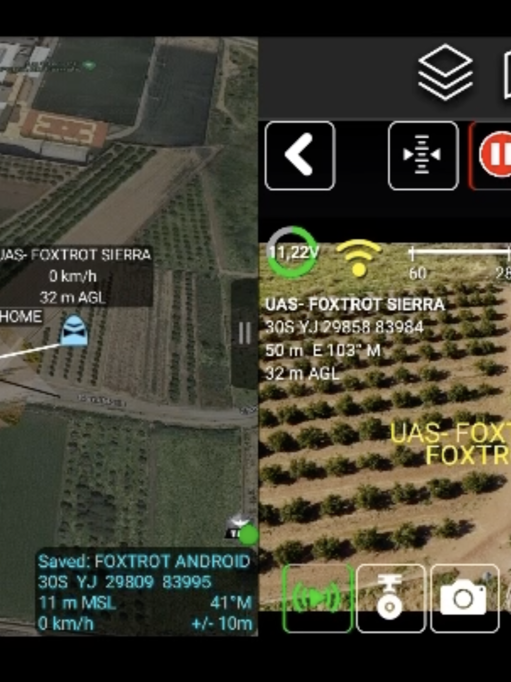
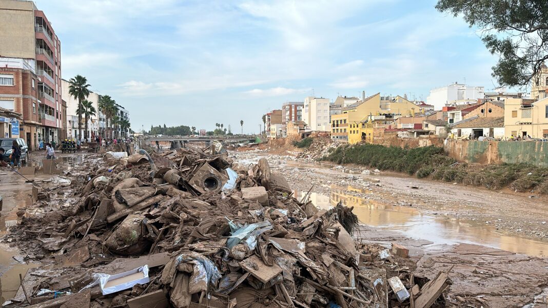
I am Fran. 10 years in the Spanish Military Emergency Unit (UME), 8 in the 32nd Intervention Company as fire engine driver and vertical rescue specialist. Real operations: wildfires, mountain rescues, urban interventions. After leaving the army I continued as a civilian nurse. After the 2024 Valencia DANA disaster I went back to the field as a volunteer and saw what we took for granted in uniform: the coordination tools military units use do not reach the civilian world that needs them. atak-server.com was born to close that gap.